3D PluraView - References & Use Cases
3D PluraView - References
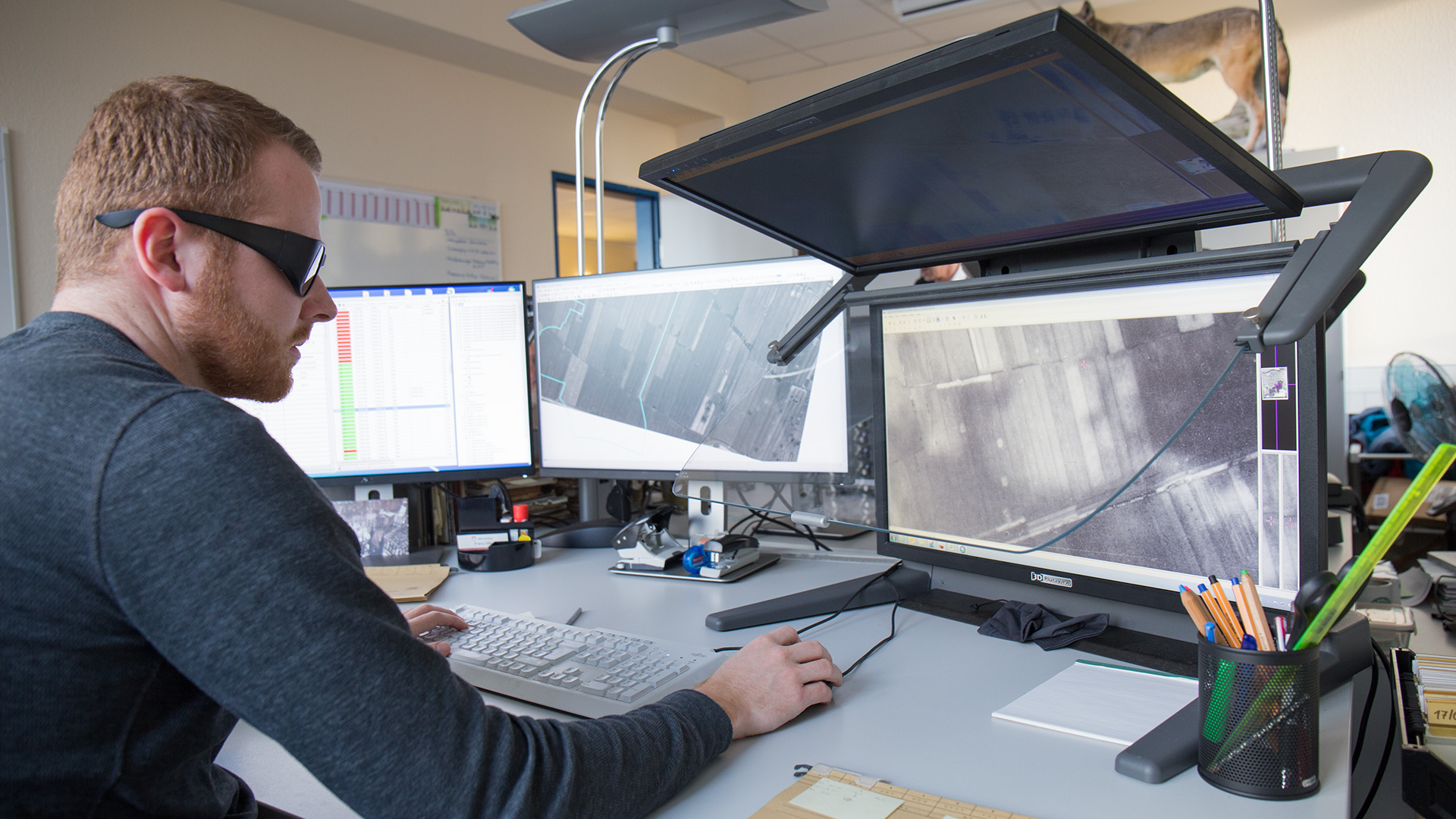
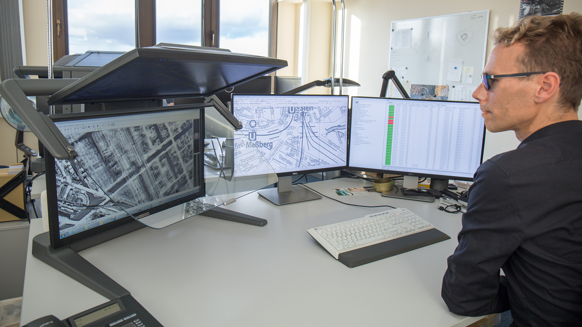
Case Study Feuerwehr Hamburg
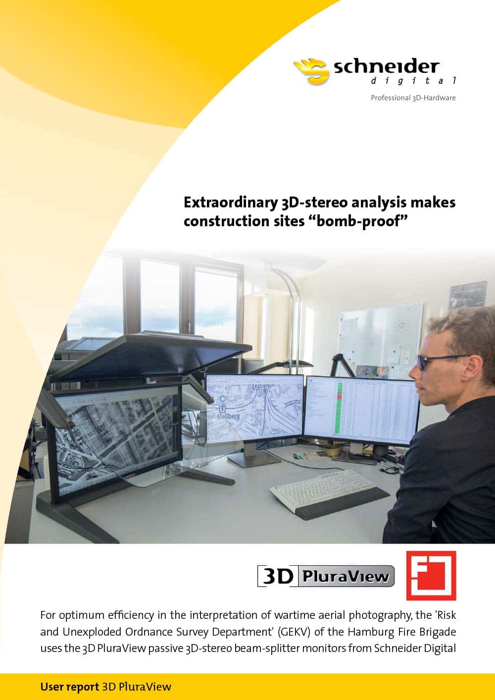
Extraordinary 3D stereo work makes construction sites “bomb-proof”
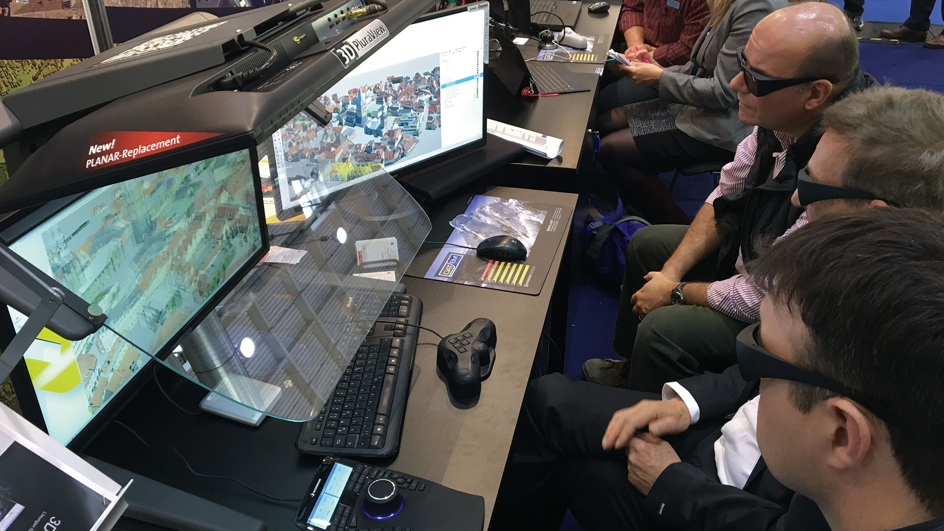
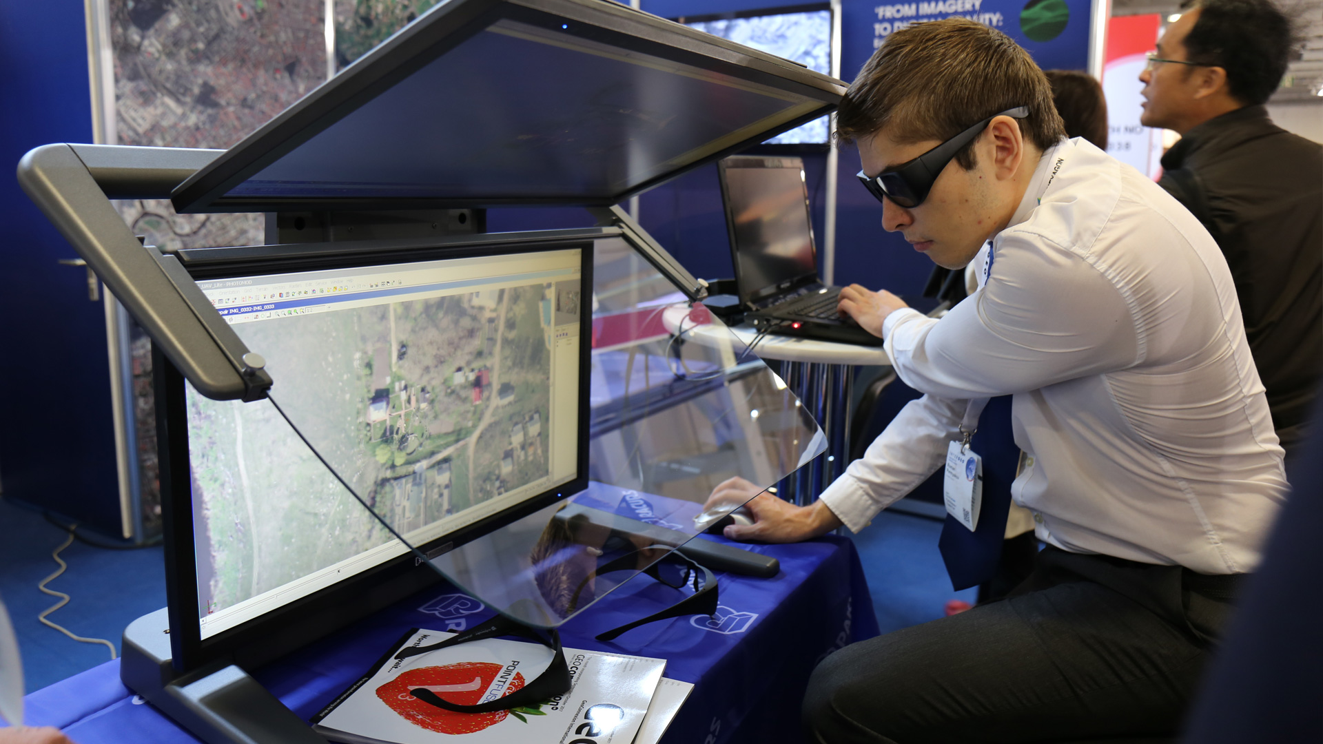
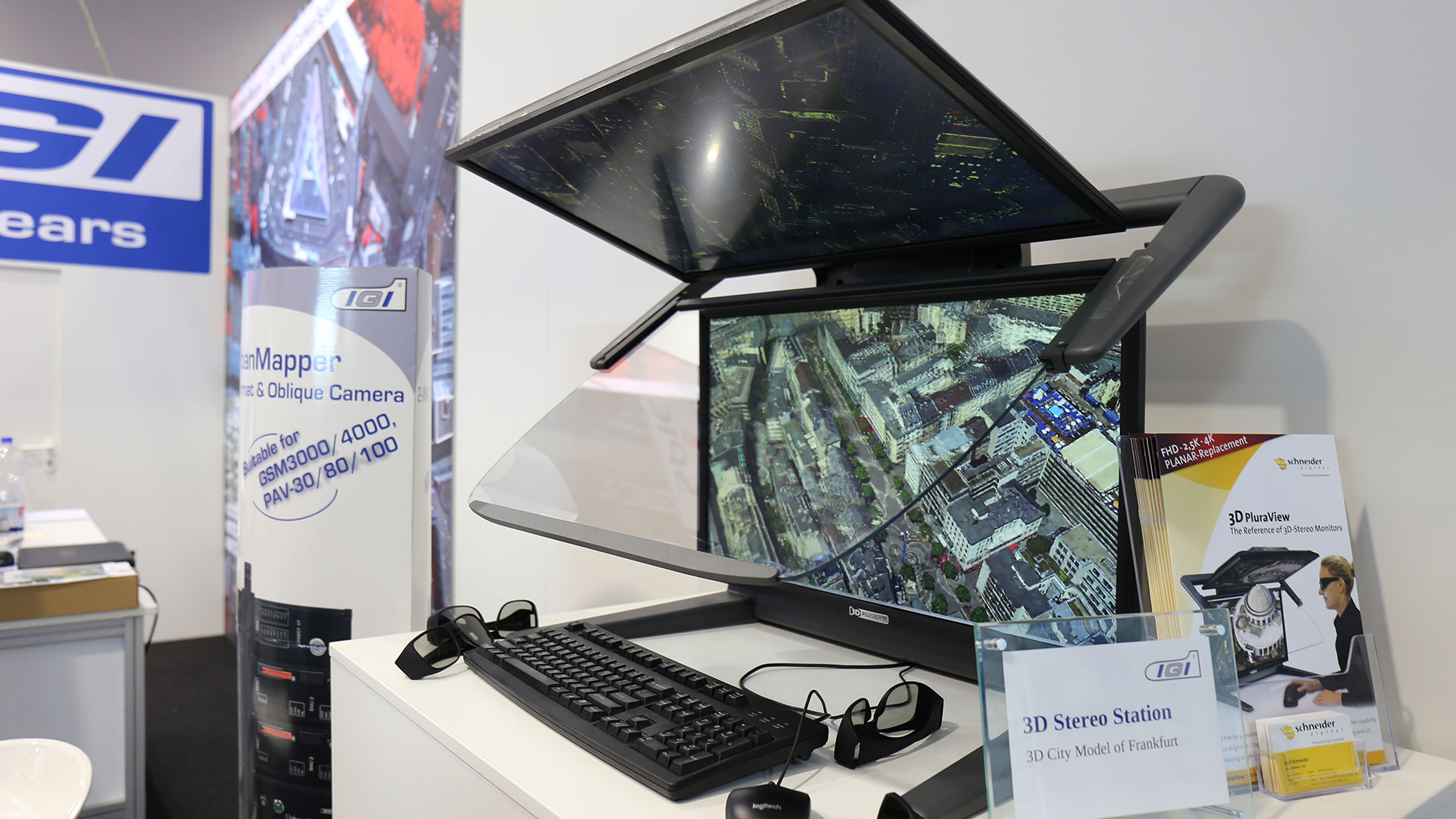
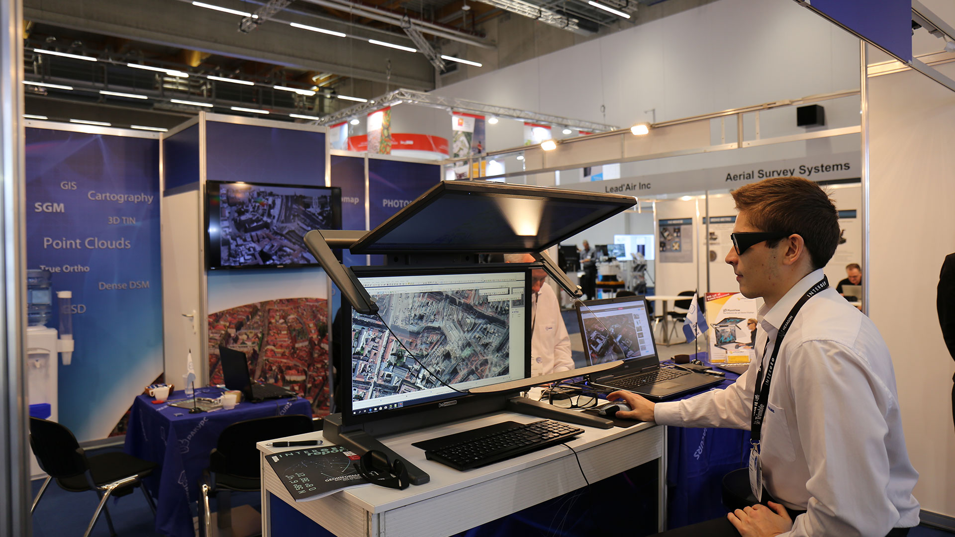
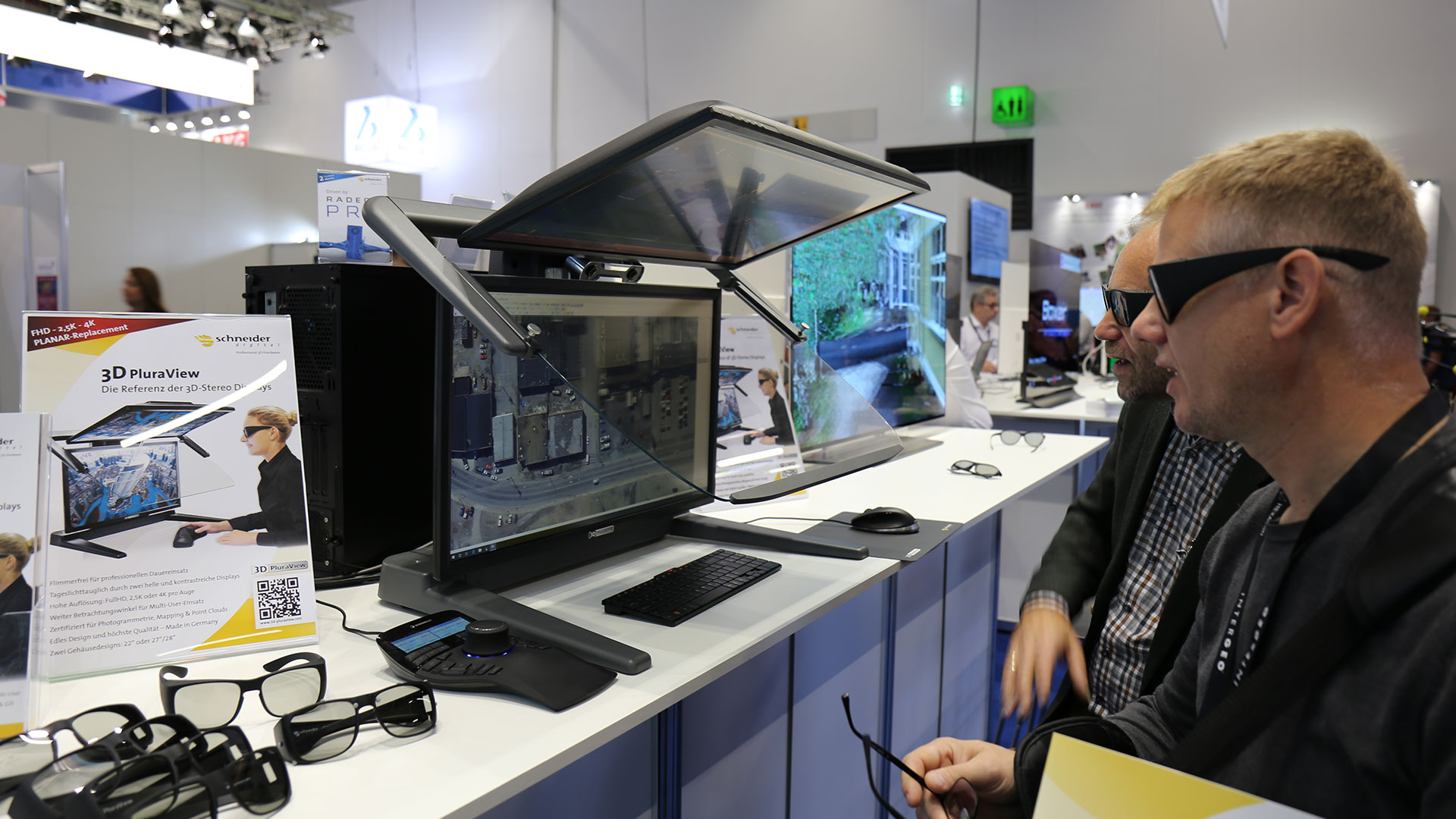
For optimum effi ciency in wartime aerial photograph interpretation, the risk and unexploded ordnance survey (GEKV) department of the Hamburg Fire Service uses the 3D PluraView passive 3D stereo beam splitter monitors from Schneider Digital
The task
- Remote sensing of construction sites for unexploded ordnance from
the Second World War using stereoscopy from primary sources (aerial photographs)
and secondary literature - Achieving the greatest possible level of safety against potential dangers on site
- Professional analysis using 3D GIS software
- Faster photo interpretation processes, requests dealt with more quickly
The demands placed on 3D visualisation technology
- Highly detailed stereoscopic 3D representation of aerial photographs from the war
- Optimum ergonomics to allow use over the entire working day
- Aerial photograph interpretation on the screen in daylight conditions
- Small overall depth and projection, sturdy frame
- Plug & Play system without the need for special software or hardware
- The system must be fully compatible with GIS software applications
- Complete workplace solution with monitors provided by the client
Read the whole report:

Field report on the PluraView 3D monitor
“All four of our stereo workstations are equipped with the PluraView systems. These systems are fully utilized for all our stereo extraction processes as well as for quality control of all our mapping products. They integrate well into our overall photogrammetric workflow.”
George Maalouli, Chief Photogrammetrist, Towill Inc.
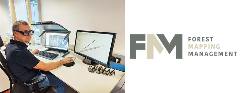
Field report “3D-PluraView digitizes the forest”
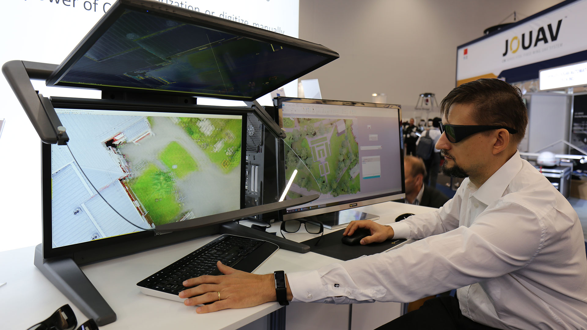
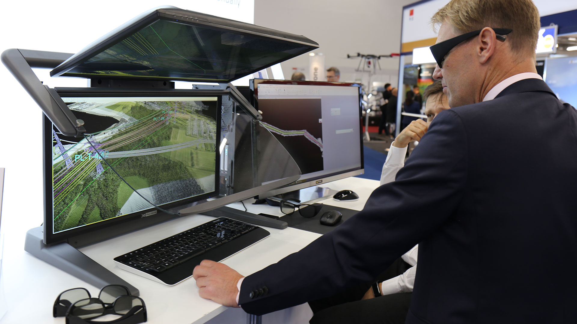
“The 3D monitors from Schneider Digital have proven to be an indispensable tool for us. In addition to the automatic detection of terrain elevation data from our digital aerial images, stereoscopic image measurement offers us a flexible way of determining and using point and vector data of spatial objects directly in the project coordinate system.”
Dipl.-Ing. Bernhard Brunner (Airborne Sensing, Forest Mapping Management GmbH, palos-platform.com

Field report on 3D PluraView with M.A.N. Mapping Services
„The view feels so realistic that I find myself moving my head in and around the view as if I’m looking at something real. In our workflow LiDAR point clouds are just another data source which is primarily of value once it is taken to a bare earth state. Working with those point clouds in such high resolution and color depth in 3D offers the best chance of the most accurate product to then work from. In all these applications, for us, the real value and speed comes from the comfort and confidence of such a natural view.“
Dennis Shimer, M.A.N. Mapping

Field report Innovative forest management with 3D PluraView
„Growing from essentially myself to over twenty employees, our team now includes data analysts, programmers, software developers, lidar and satellite specialists, and a team of photo interpreters. All fundamentally using and basing their work on data captured using 3D PluraView technology from KELYN3D to drive workflows and ensure the highest quality final deliverables for clients.“
Geoff Lawless, Registered Professional Forester at Forsite.isualization
