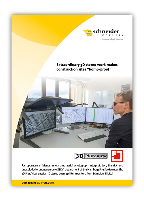
3D PluraView Case Study Hamburg Fire Service
Extraordinary 3D stereo work makes construction sites “bomb-proof”
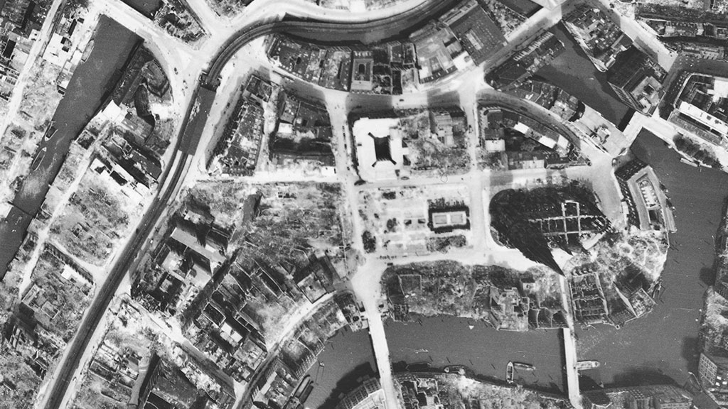
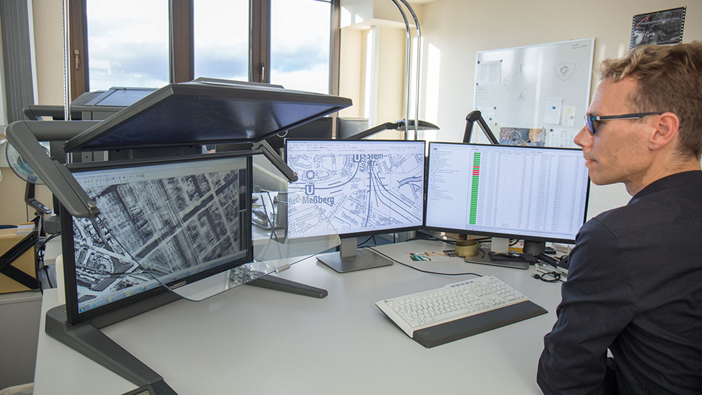
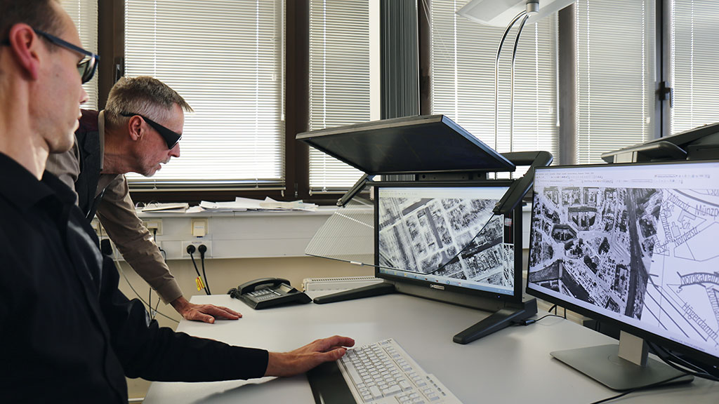
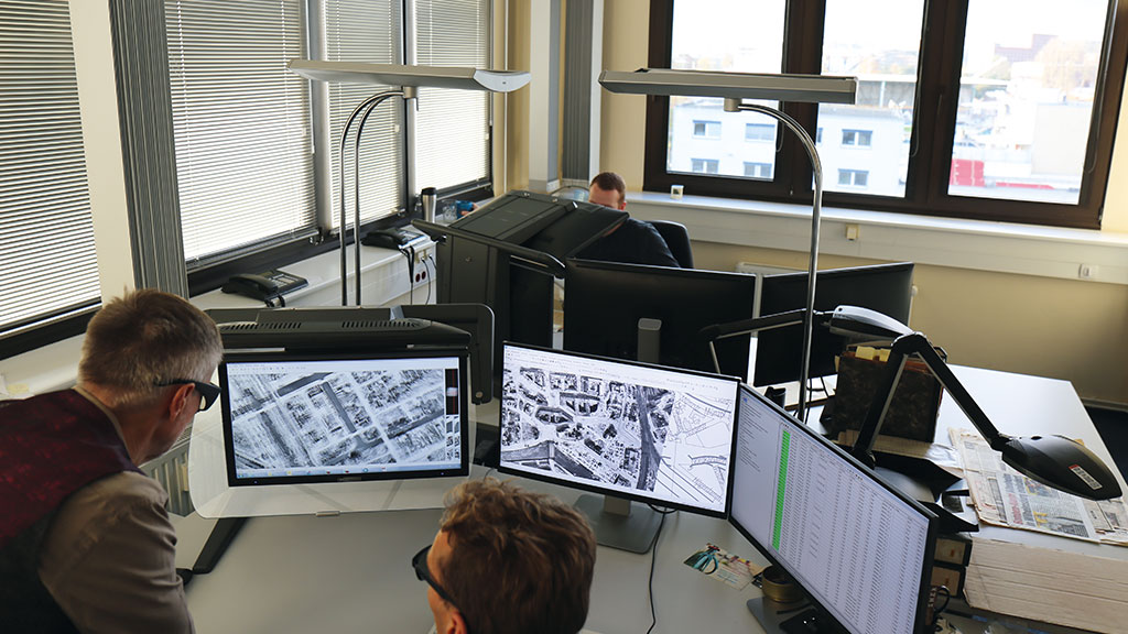
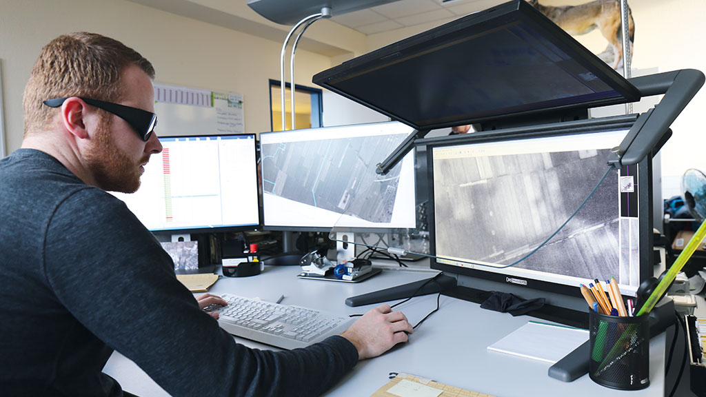
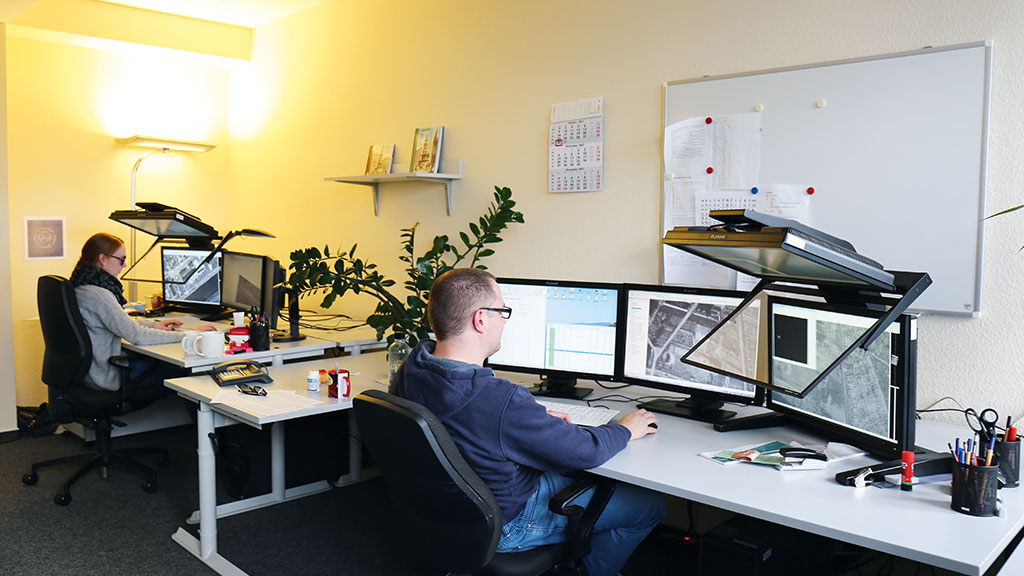
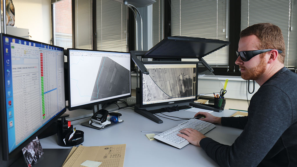
For optimum efficiency in wartime aerial photograph interpretation, the risk and unexploded ordnance survey (GEKV) department of the Hamburg Fire Service uses the 3D PluraView passive 3D stereo beam splitter monitors from Schneider Digital.
The task
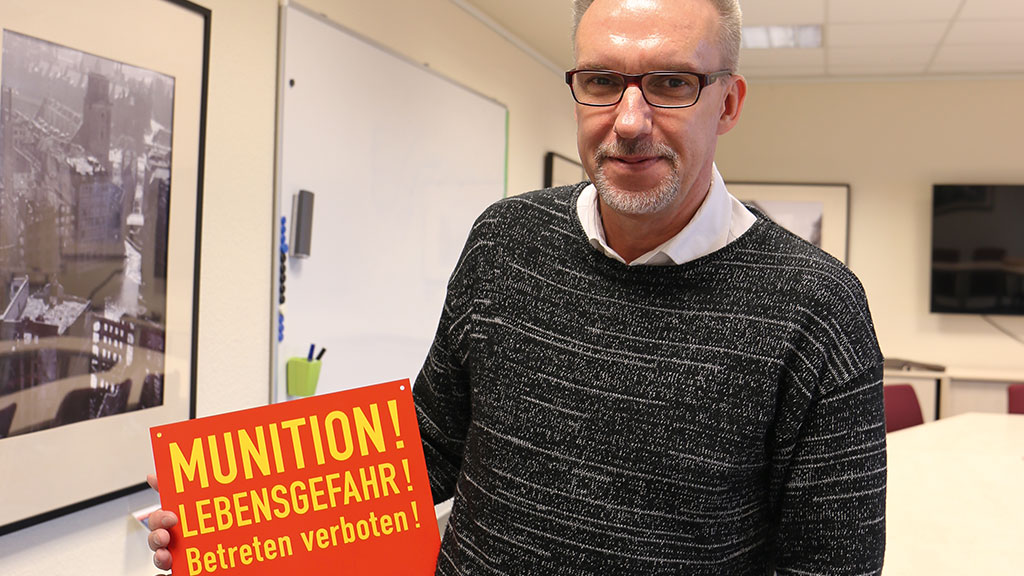
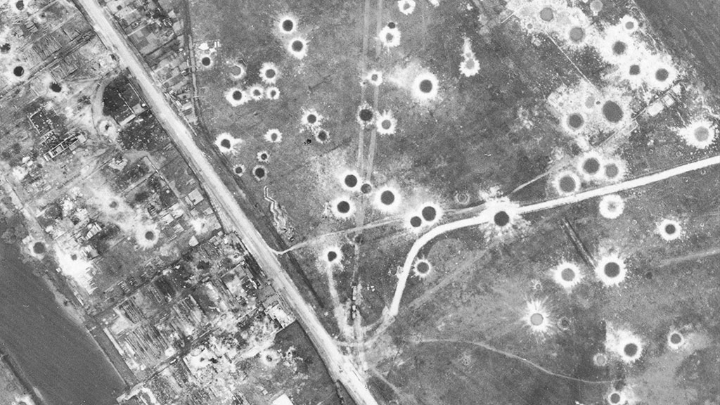
- Remote sensing of construction sites for unexploded ordnance from the Second World War
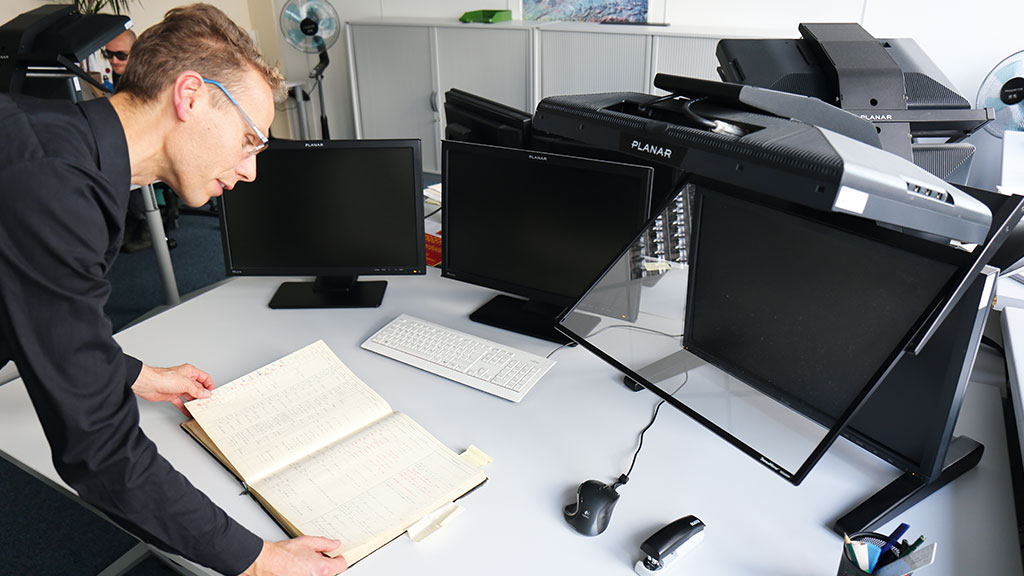
using stereoscopy from primary sources (aerial photographs) and secondary literature - Achieving the greatest possible level of safety against potential dangers on site
- Professional analysis using 3D GIS software
- Faster photo interpretation processes, requests dealt with more quickly
The demands placed on 3D visualisation technology
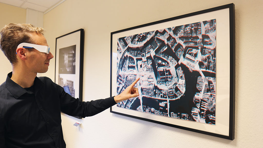
- Highly detailed stereoscopic 3D representation of aerial photographs from the war
- Optimum ergonomics to allow use over the entire working day
- Aerial photograph interpretation on the screen in daylight conditions
- Small overall depth and projection, sturdy frame
- Plug & Play system without the need for special software or hardware
- The system must be fully compatible with GIS software applications
- Complete workplace solution with monitors provided by the client
The solution – Schneider Digital 3D PluraView
| Screen size / resolution: |
27″, 2.560 x 1.440 pixels per eye |
| 3D display technology: | 210 cd/m² brightness with glasses, Linear polarisation: 45°/135°, Beam splitter: semi-transparent reflector |
| PC and graphics card: | Siemens PCs, NVIDIA Quadro |
| Infrastructure: | Up to 2 monitors provided by the client used for parallel database applications |
Software use
| Analysis: | ERDAS IMAGINE (erdas), Geospatial (Hexagon) |
| GIS: | ArcGIS (Esri) |
| Communikation: | MS Office Tools |
Das Ergebnis
- A shift to 100% remote sensing on the PC: Thanks to high-performance 3D stereoscopy, remote sensing is the only method now used to investigate the suspected presence of ordnance
- Sophisticated beam splitter technology enables GEKV staff to work all day without getting tired
- The entire photo interpretation and job processing work fl ow is accelerated
- Working in darkened rooms is a thing of the past
- Precise stereoscopic aerial photograph interpretation with 3D-capable GIS software