
QGIS in transition: open source GIS meets 3D and stereo

Better GIS decisions through spatial depth
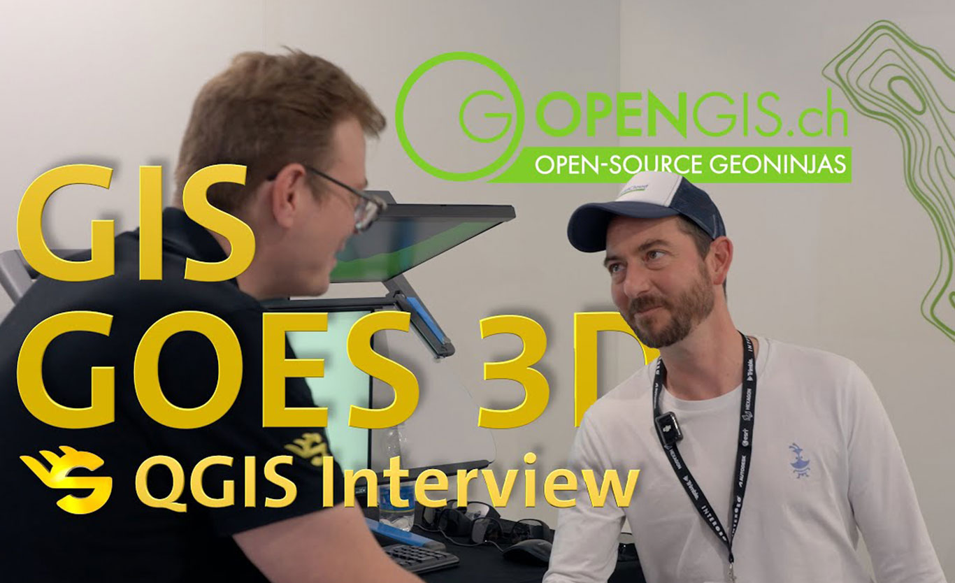
In this conversation, Schneider Digital meets with its partner OpenGIS.ch to discuss the latest developments in QGIS. The focus is on modern Open-source GIS-workflows and the growing importance of 3D and stereoscopic visualisation in everyday geodetic work. This interview was recorded at Intergeo 2025 in Frankfurt. It highlights how modern GIS software processes increasingly complex data sets and how 3D representations help users to better understand, analyse and reliably interpret spatial information.
Topics covered in the interview include:
- Open-source GIS with QGIS and QField
- Handling different data types, layers and data sources
- The growing role of 3D in GIS workflows
- Visualisation of 3D GIS data in stereoscopic 3D
- Added value of stereo displays for analysis and interpretation
- Importance of partnerships for the further development of open GIS ecosystems
QGIS is one of the most widely used GIS platforms worldwide and continues to set standards in the open source geocommunity. The interview provides practical insights into how GIS workflows are evolving and why 3D stereo visualisation is increasingly becoming the next logical step.
The video is part of our Intergeo interview series, in which Schneider Digital customers and partners share their experiences and perspectives on geodata, visualisation and data-driven workflows.