Successful INTERGEO 2017– 3D PluraView live at software partners
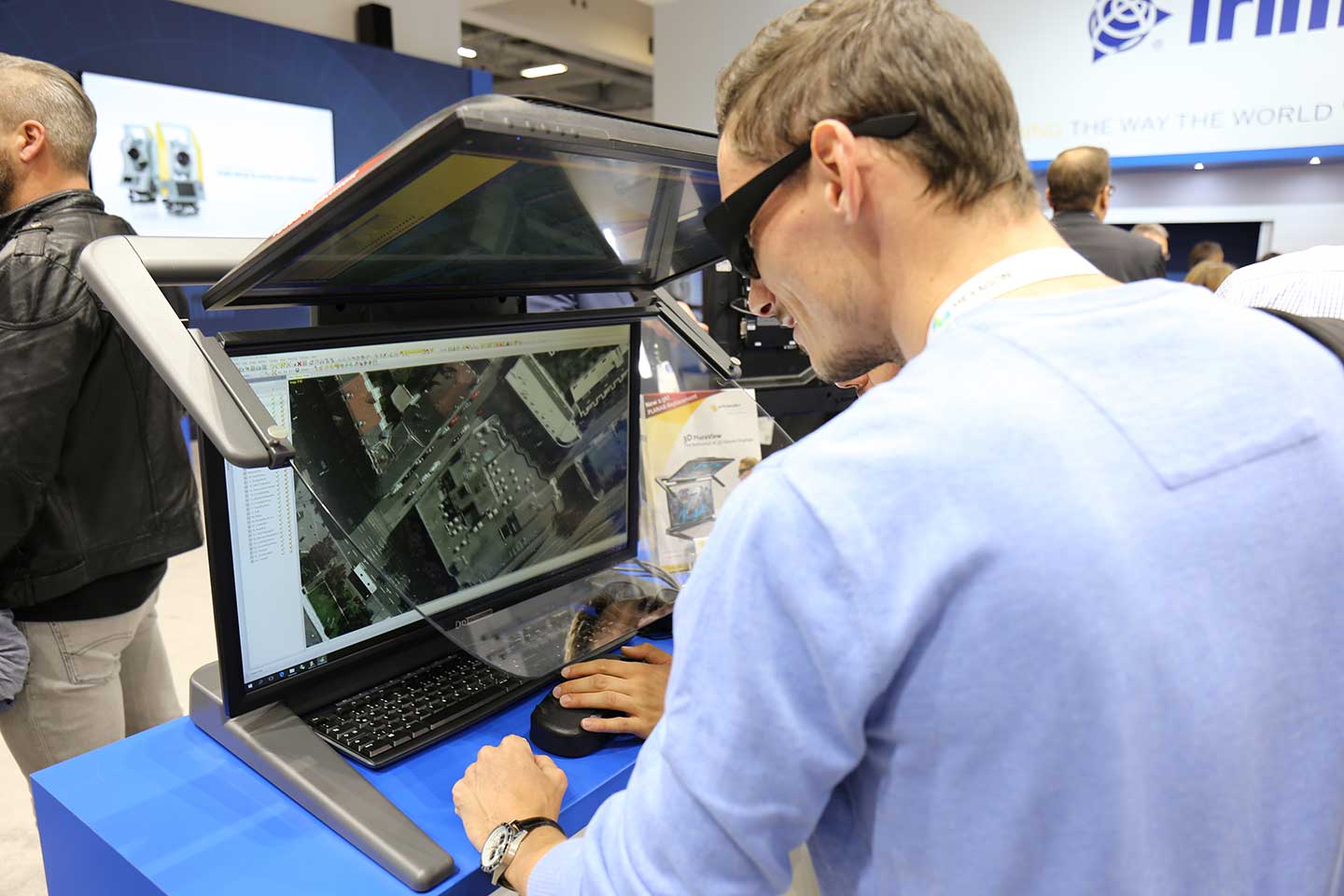
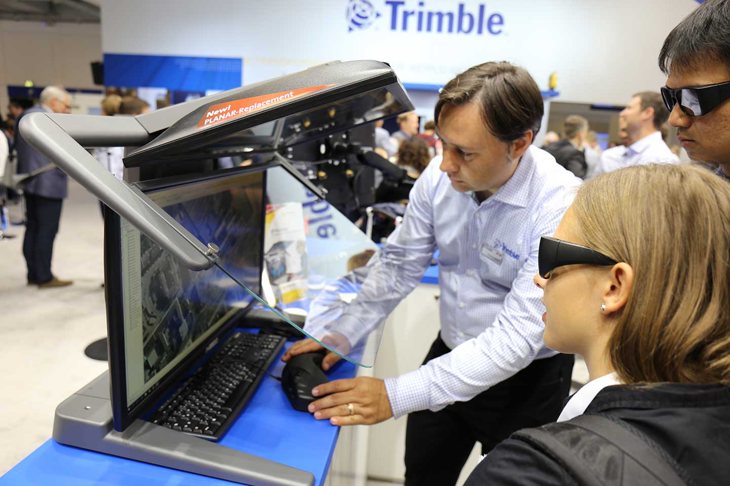
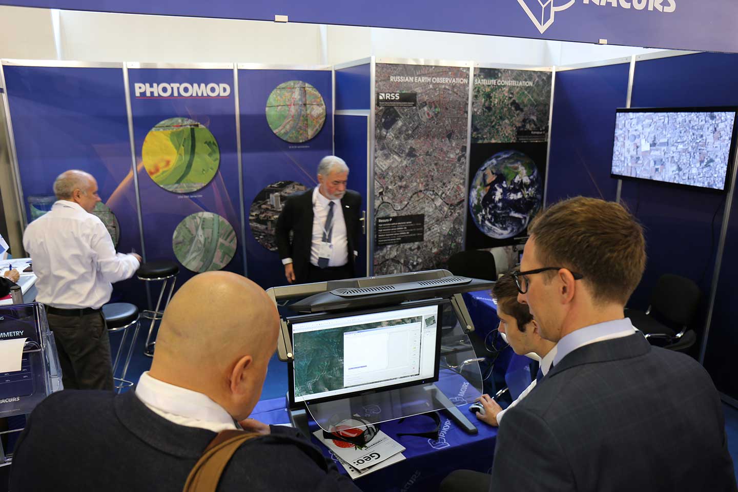
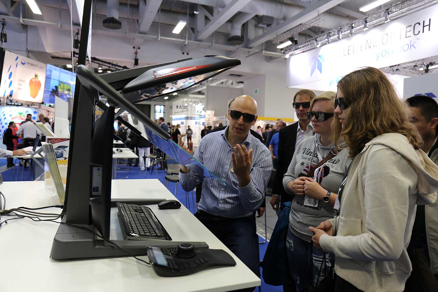
The new 3D PluraView monitor generation with all leading GIS applications in practice live at Schneider Digital software partners.
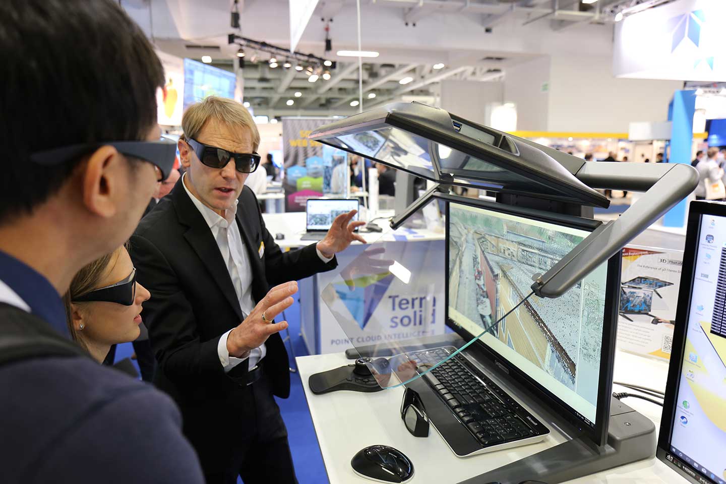
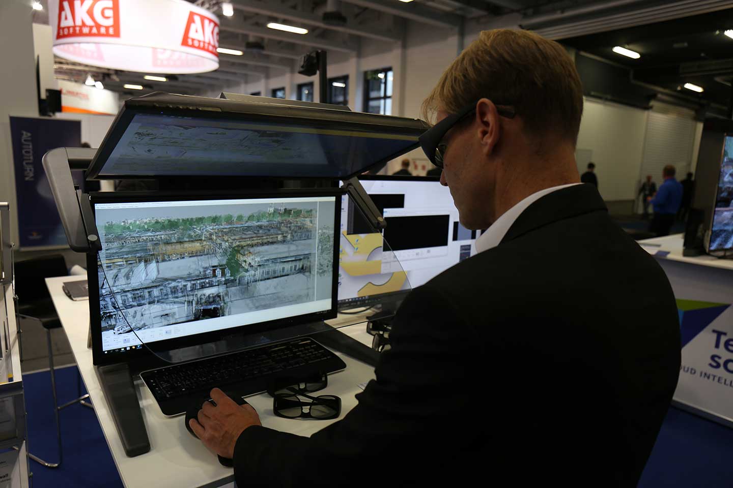
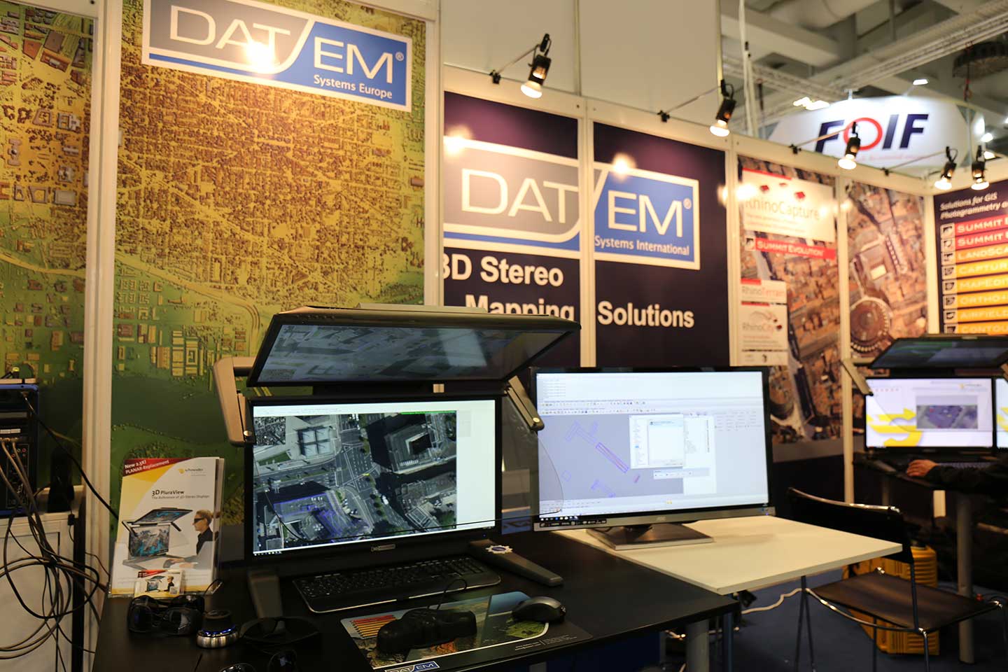
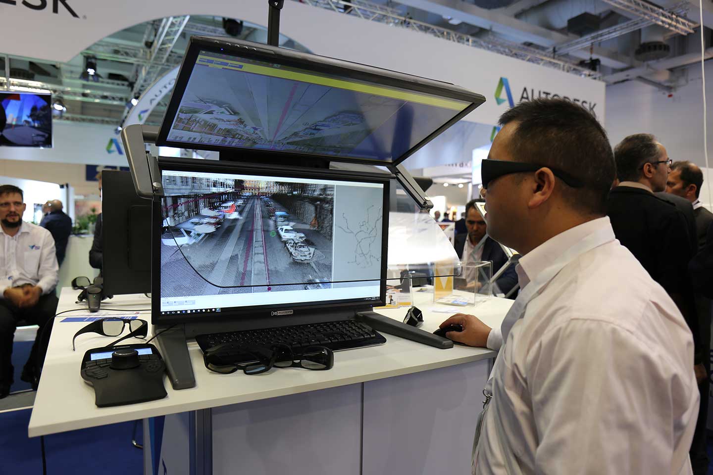
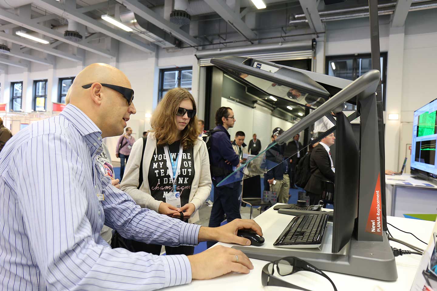
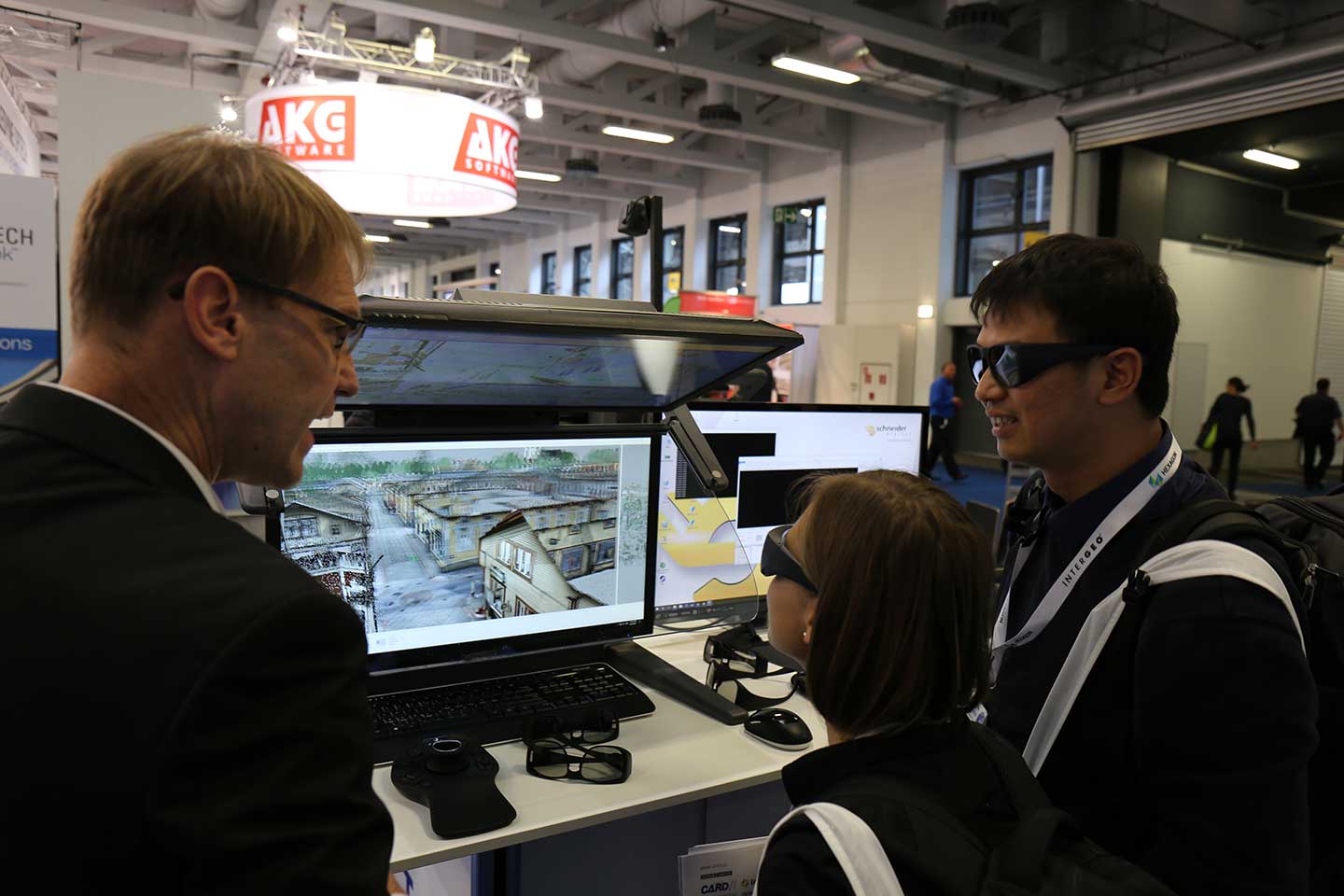
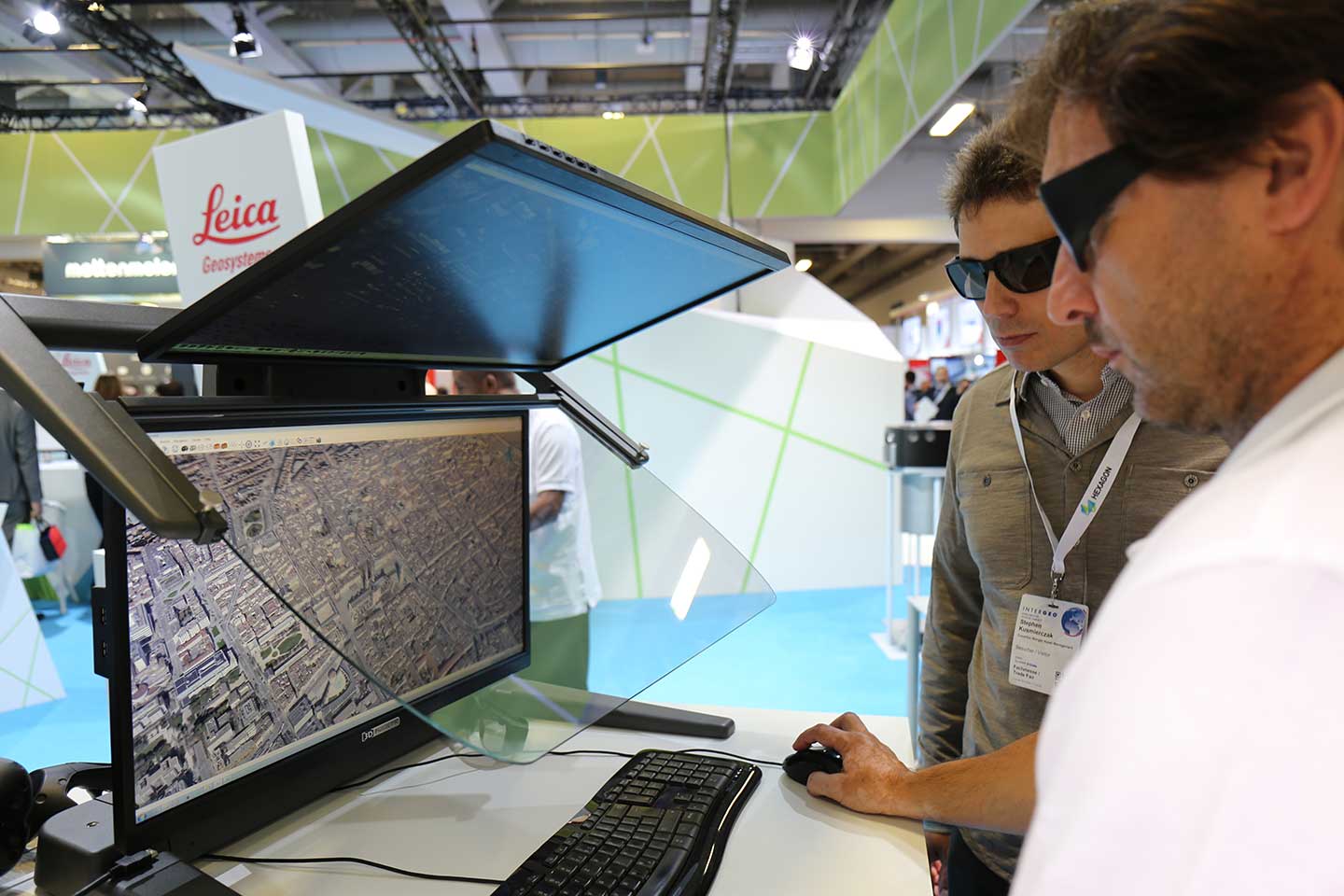
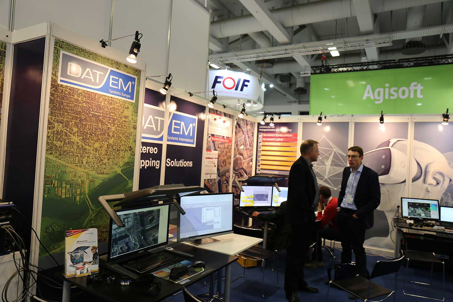
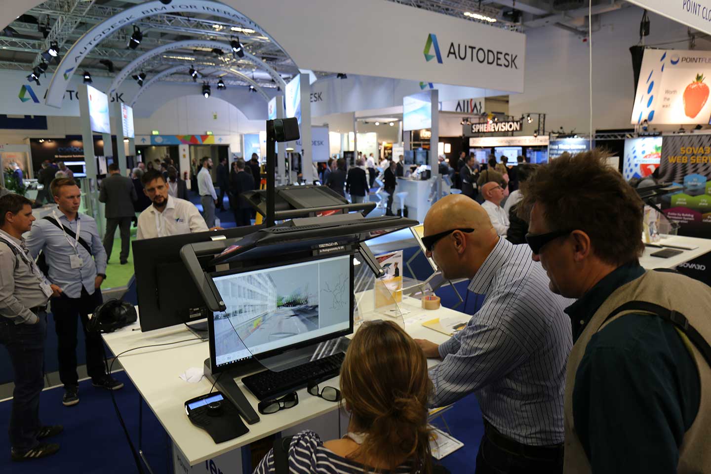
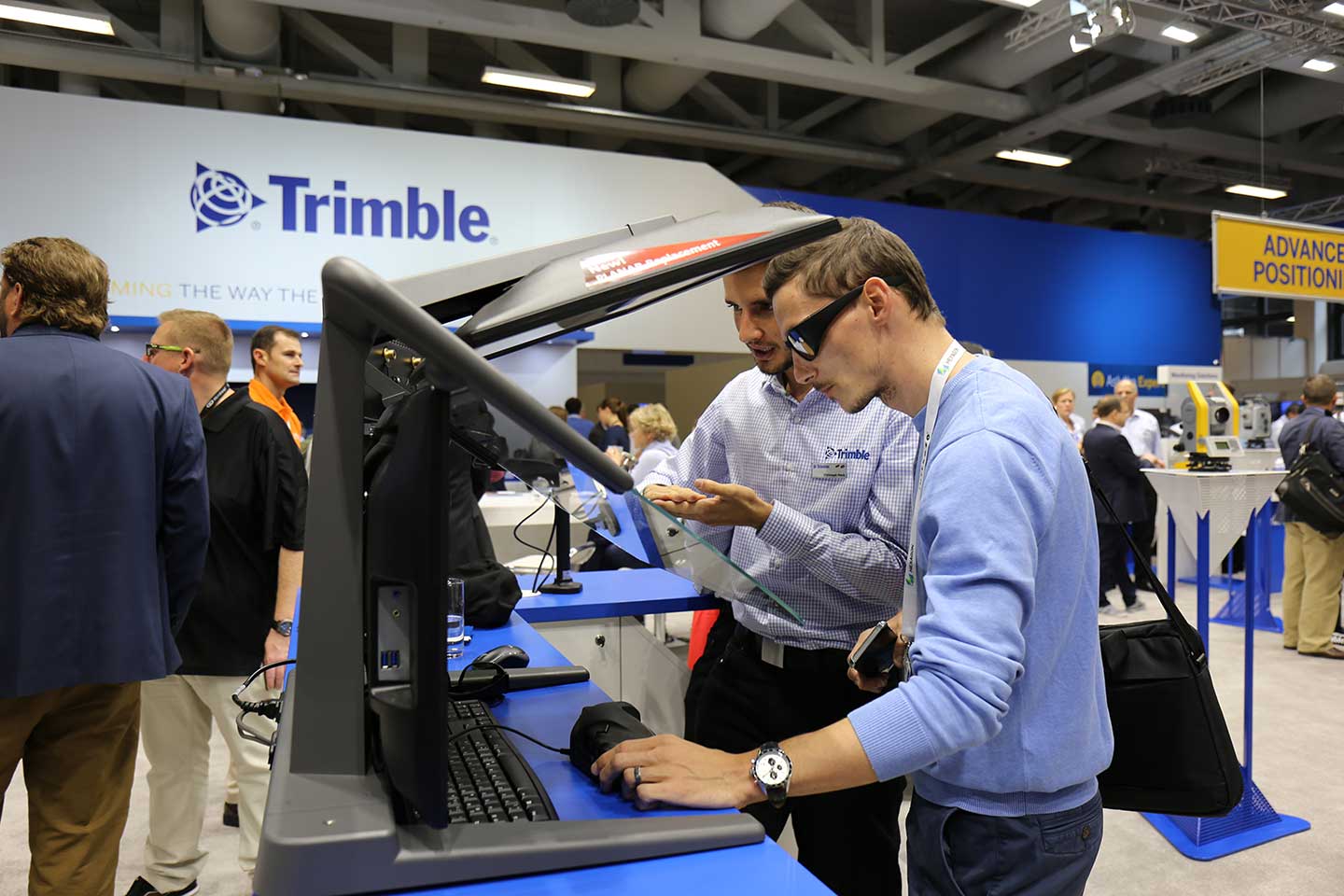
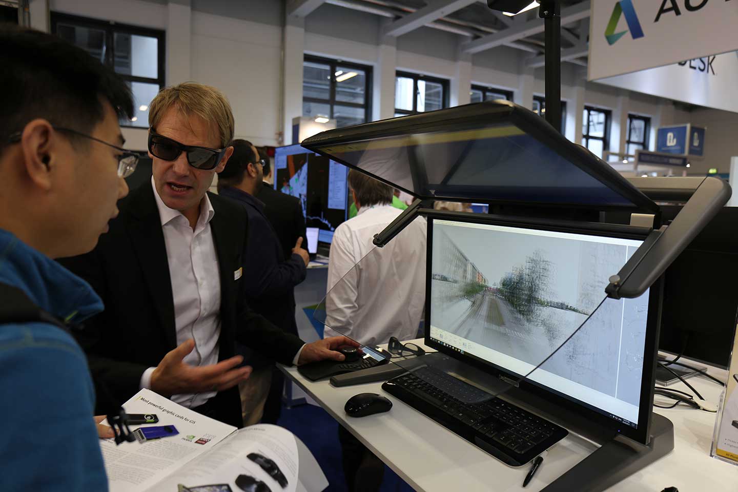
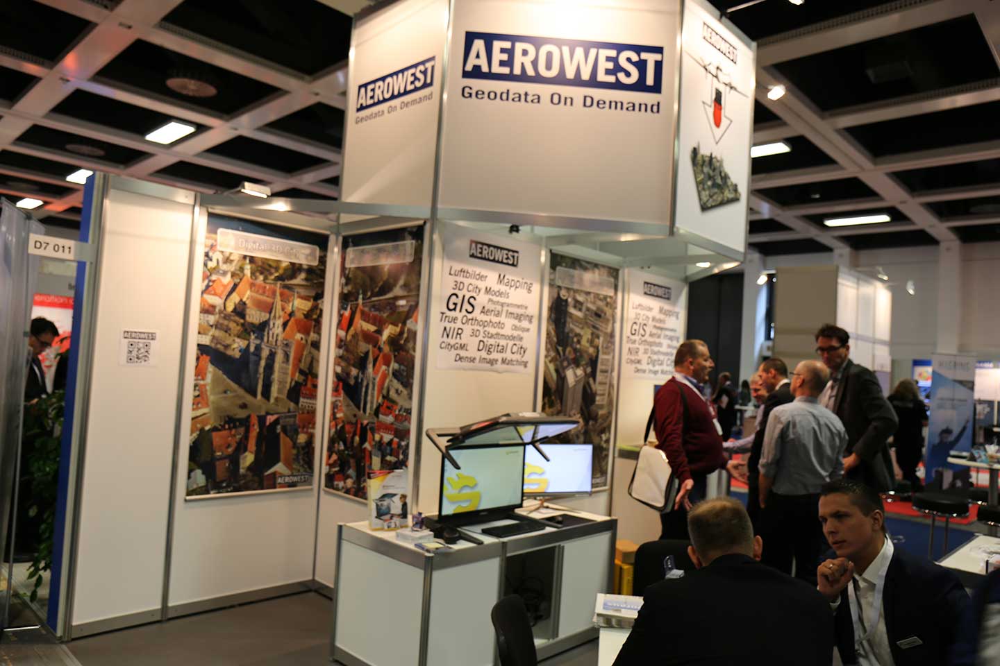
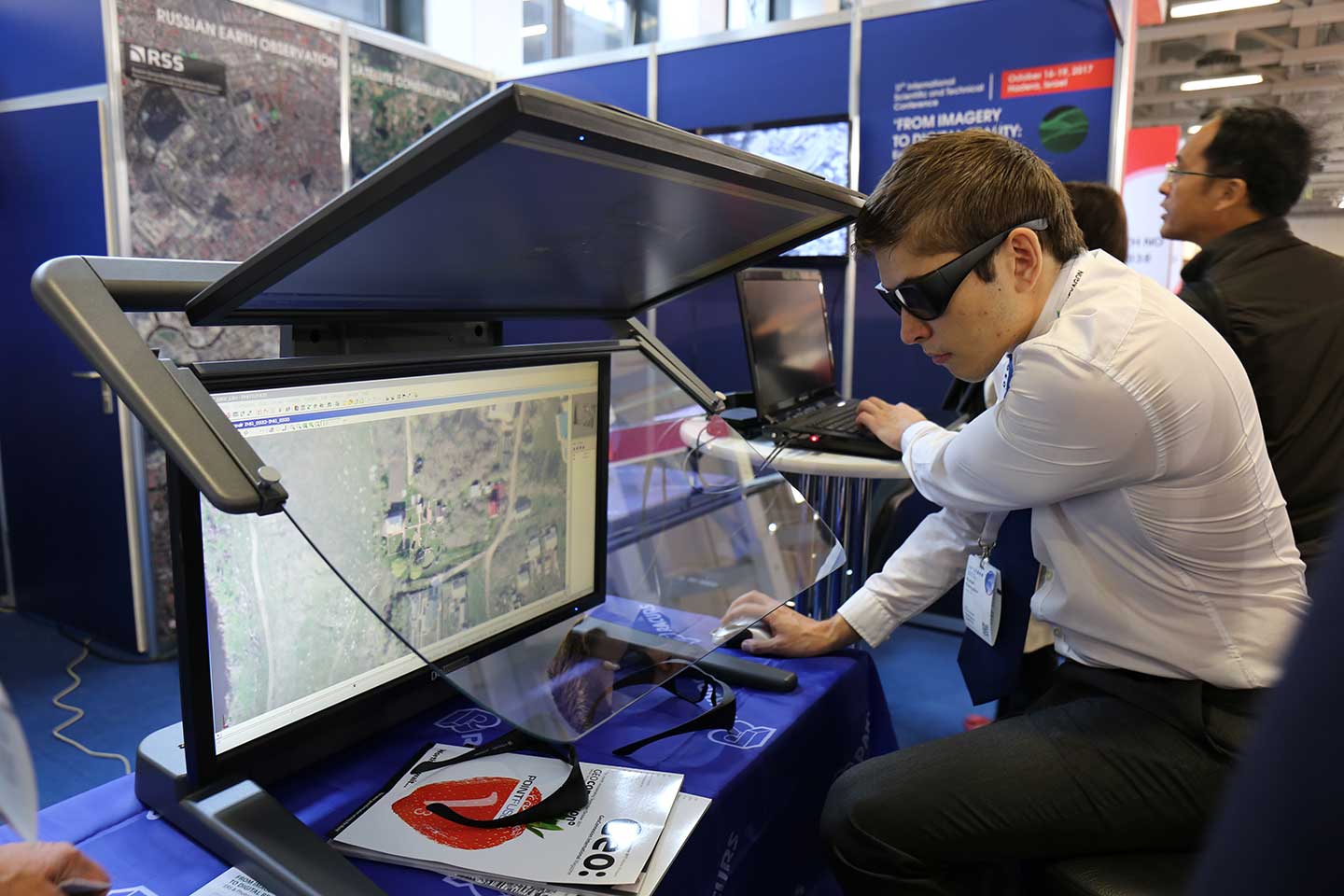
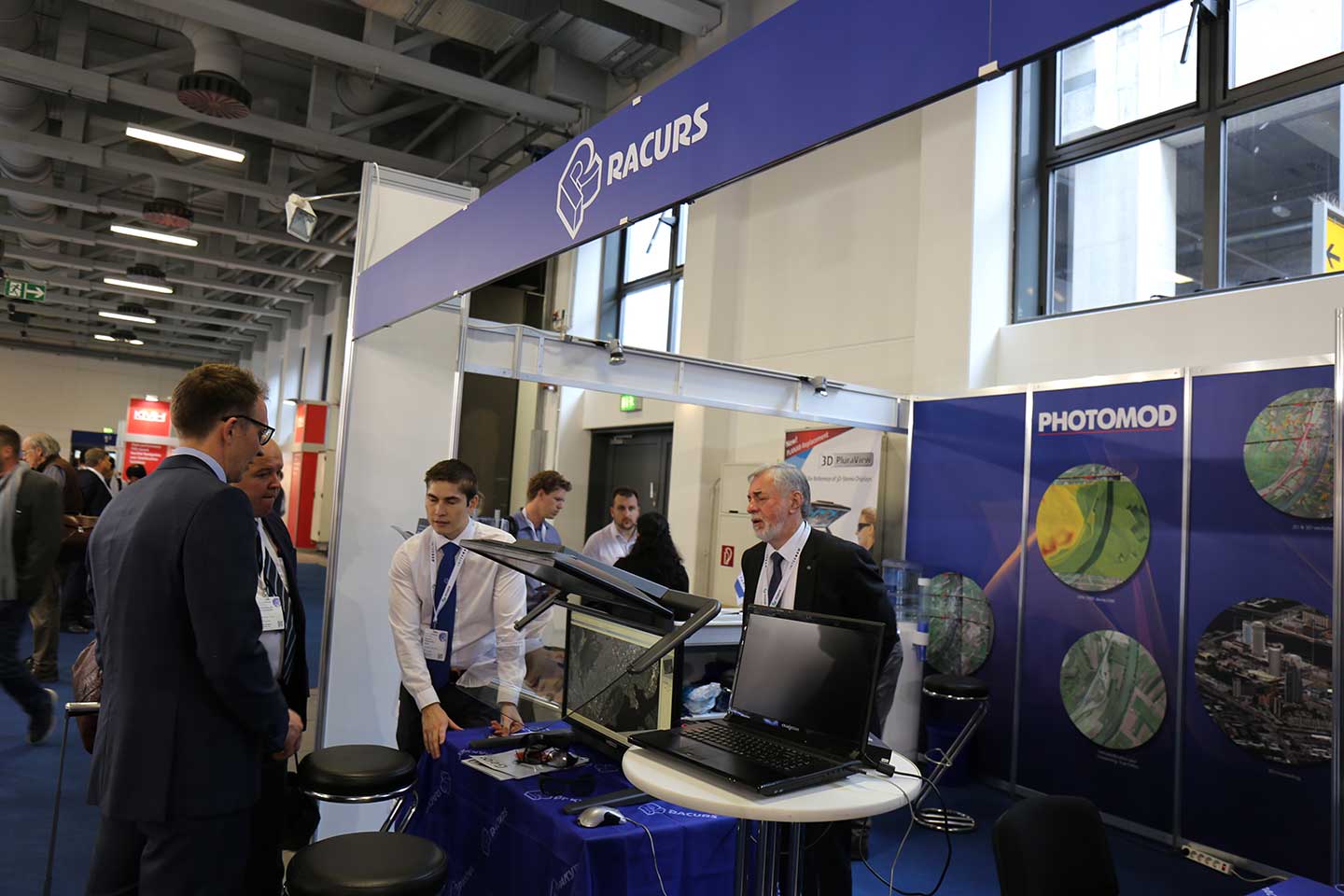
At this year’s INTERGEO 2017 in Berlin, Schneider Digital presented the new 3D PluraView monitor generation at the most important communication and network fair around Geo-IT – live with leading GIS, geospecial and photogrammetry applications software partners Leica Geosystems, Trimble (Inpho), TerraSolid (TerraStereo), Agisoft, Aerowest (Rhino, MicroStation, Inpho, Match-AT), Racurs (Photomod), ILV Fernerkundung (Geomedia, Match-AT) und DAT/EM (Summit Evolution).

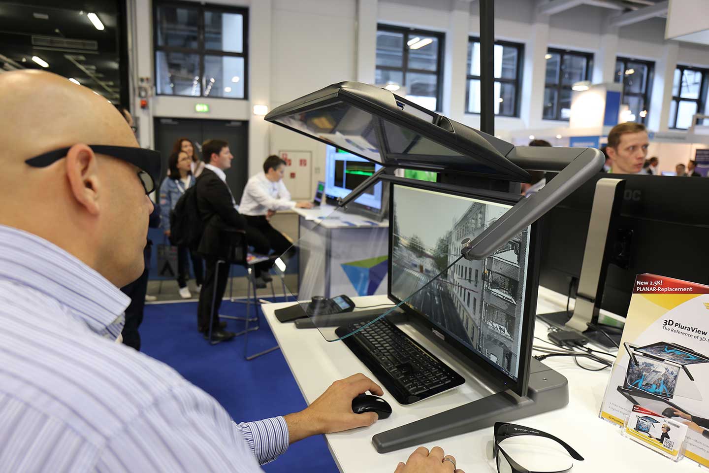


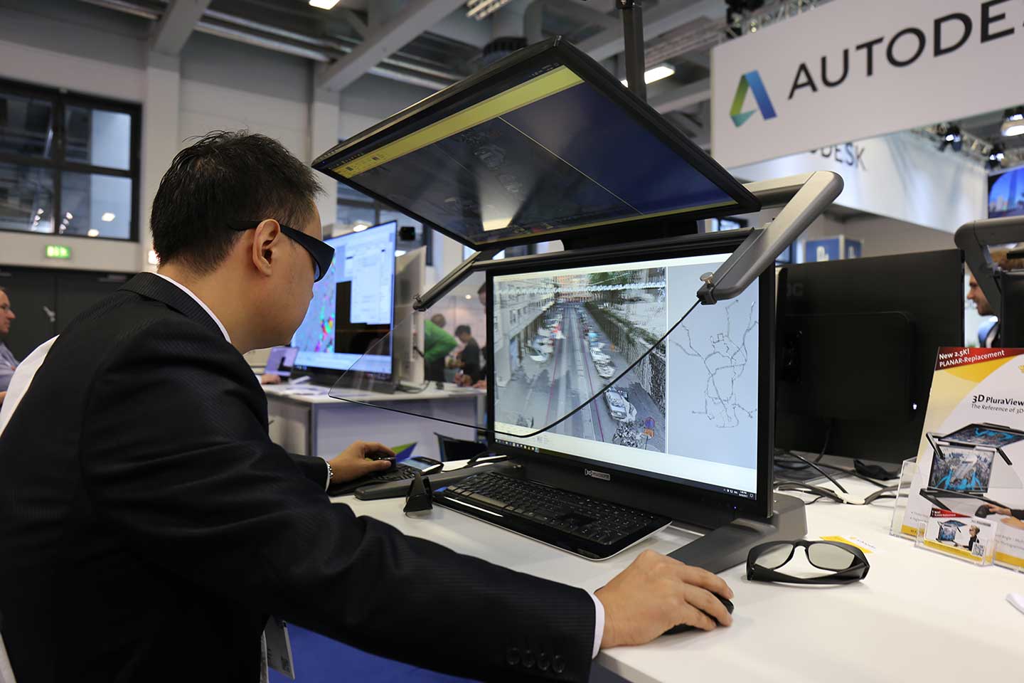


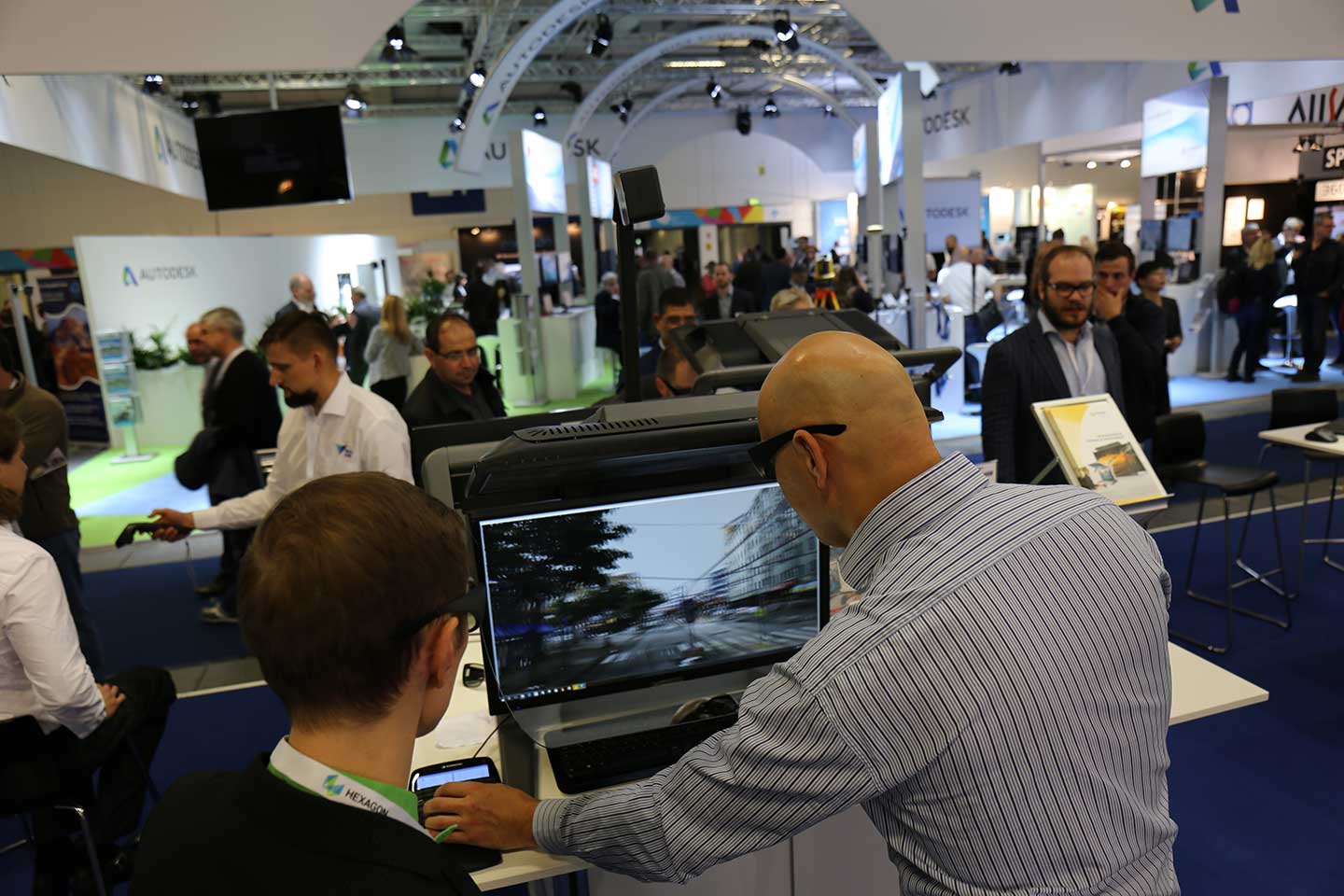
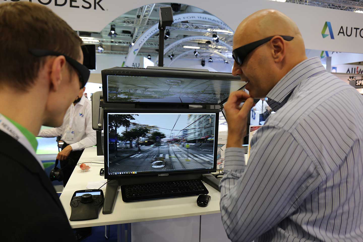
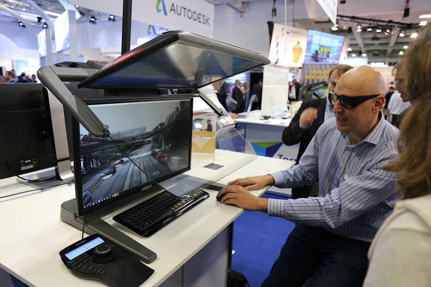
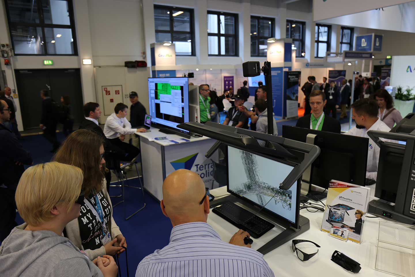
In addition to the 3D PluraView with 4K display resolution, Schneider Digital presented the new basic model of the passive stereo monitor at the GIS world leading trade fair. With 2.5K display resolution per eye, it builds the replacement of the Full-HD model. Users benefit from its now 77% higher basic resolution and an almost 17% increase in brightness compared to the Full HD model. Therewith the new 3D PluraView 2.5K is even better suited for 3D stereo work in daylight environment. With the new 2.5K basic model and the successful High-Res. 3D PluraView 4K, Schneider Digital continues to dominate the competition of professional 3D stereo monitor providers.
The 3D PluraView series is extended by the new 3D PluraView Compact, which is particularly suitable for workplaces in confined spaces. Due to its compact design with a 21.5″ monitor diagonal and a depth of only 46 cm, the 3D PluraView Compact requires very little space on the desk and is ideally suited for large offices with many workstations in a small space. Highest quality combined with functional design also make the 3D PluraView Compact a reliable monitor for all professional 3D stereo users.
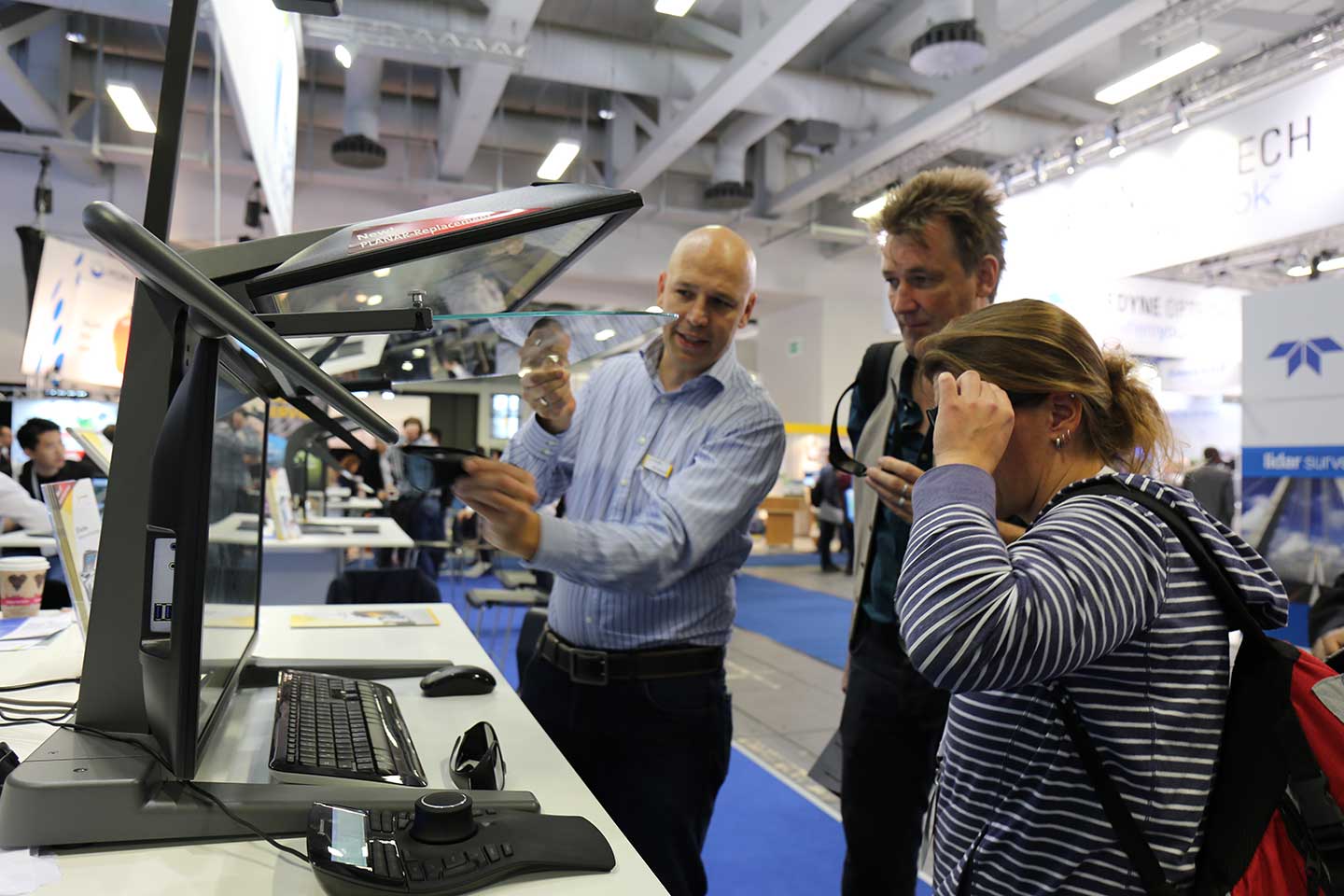
The GIS industry reference in the field of passive 3D stereo monitors
Since launching the product in September of 2016, the 3D PluraView has established itself as a reference in the field of passive 3D stereo monitors for geo-information in the entire industry. It has been certified with all leading software applications and supports all common 3D stereo applications for Linux and Windows. Summit Evolution from DATEM, DTMaster from Trimble (INPHO), IMAGINE Photogrammetry (LPS) from HEXAGON / erdas, Z / I ImageStation from INTERGRAPH, Gcarto / ArcGDS from Geosoft, SOCET Set / Socet GXP from BAE SYSTEMS, uSMART from SmartTech, TerraSolid, Rhino Terrain are only a few certified GIS solutions.
Thanks for your visit!