Brief explanation: What does the term ‘stereoscopic’ mean?
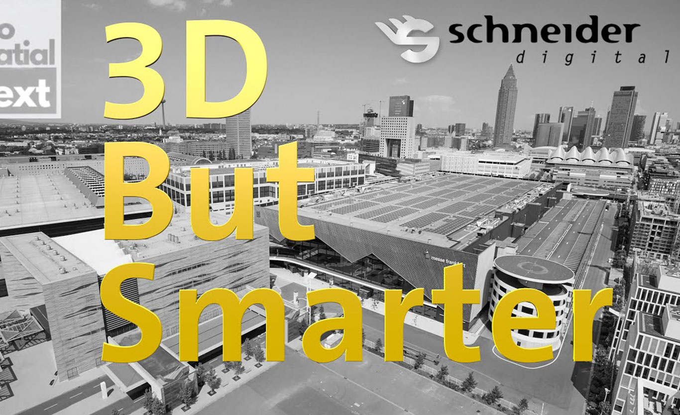
Detailed insights at INTERGEO 2025
What does the term ‘stereoscopic’ mean – and why is it so crucial for geospatial applications?
In this short video clip, Orlando Grimaldi, Senior Sales Manager at Schneider Digital, presented at INTERGEO 2025 how stereoscopic visualisation works and what groundbreaking advantages it offers for spatial data analysis. Instead of conventional two-dimensional representations, you experience real depth perception:
- A genuine sense of space instead of a flat 2D view: you don’t just see data, you experience it.
- Precise interaction with even the most complex structures: you navigate and understand instead of selecting.
- Intuitive accessibility for geospatial data: complexity becomes tangible and understandable.
Stereoscopy thus goes far beyond simple visualisation – towards a genuine spatial experience. This opens up completely new possibilities for your projects in the fields of geodata analysis, urban planning, infrastructure management and more.