ILV Fernerkundung: From aerial surveys to precise 3D visualisation
Aerial surveying and 3D mapping in international use
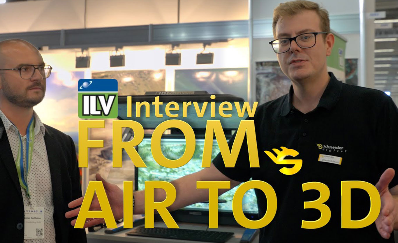
In this interview, Christian Hochheimer from ILV Fernerkundung provides an in-depth insight into the professional world of aerial surveying and 3D mapping – from data acquisition to final visualisation.
ILV Fernerkundung operates internationally with its own fleet of aircraft and carries out large-scale aerial surveying projects for public and private clients. The interview focuses on real project processes, worldwide operations and the question of how complex geodata can be efficiently processed, evaluated and visualised in 3D.
- International aerial photography projects and global operations
- Aerial photography with aircraft and drones
- 3D mapping, orthophotos and 3D meshes
- Applications in mining and infrastructure projects
- The path from data acquisition to 3D evaluation and visualisation
- Professional hardware and workstation workflows
The interview was recorded at Intergeo 2025 and is part of our series of interviews with Schneider Digital customers and partners. The series offers practical insights into modern workflows involving geodata, photogrammetry and powerful 3D visualisation.
The article clearly shows how professional aerial surveying is implemented today and what role powerful hardware and well-designed visualisation workflows play in the evaluation of complex geodata.
Information about ILV Fernerkundung