Vexcel and Schneider Digital: The perfect complement to UltraMap and 3D visualisation
With UltraMap, Vexcel demonstrates scalable workflows for aerial photogrammetry
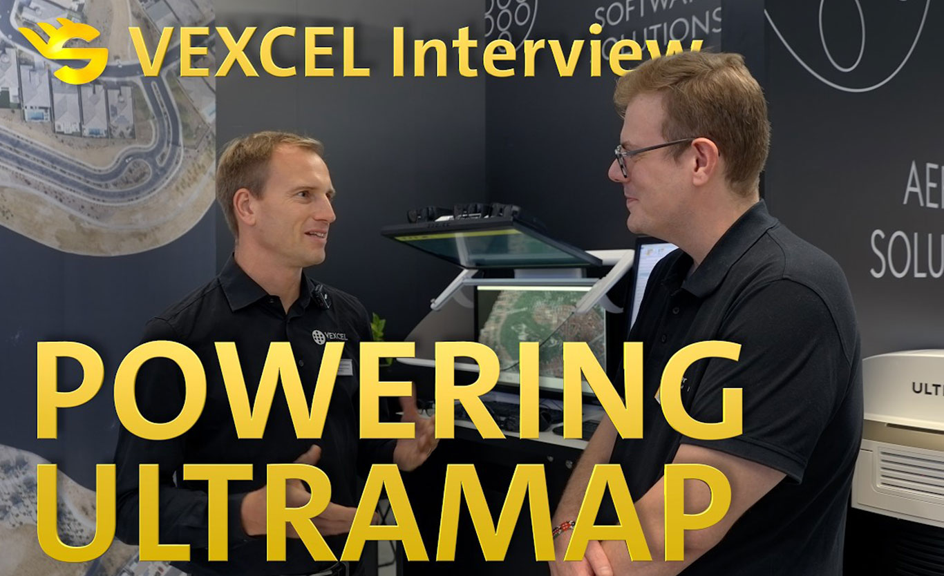
At INTERGEO 2025, Schneider Digital spoke to the Head of Applied Photogrammetry at Vexcel Imaging about modern workflows in aerial photogrammetry. The interview demonstrates how UltraMap transforms raw image data into reliable end products for professional mapping applications, utilising scalable processing chains.
The focus is on distributed processing in UltraMap. The software can integrate multiple processing servers and make efficient use of CPU and GPU resources. This allows even large volumes of data and complex photogrammetric projects to be processed in a scalable and cost-effective manner. It also becomes clear that modern photogrammetry workflows extend far beyond the software itself. The key lies in the interplay between a powerful computing infrastructure, suitable server and workstation systems, and visualisation solutions. Schneider Digital supports such environments with professional hardware for demanding GEO and photogrammetry applications.
Visualisation also plays an important role. Stereoscopic 3D visualisation offers clear advantages, particularly when analysing aerial imagery, surface models and point clouds. The interview demonstrates how aerial image processing can now be understood as an end-to-end, scalable workflow – from raw data acquisition to visual quality control of the final products.
Topics covered in the interview:
- UltraMap Workflow: from raw image data to the final result
- Distributed processing in aerial photogrammetry
- Scalable processing using multiple processing servers
- Efficient use of CPU and GPU resources
- Hardware and infrastructure requirements for large-scale mapping projects
- Stereoscopic visualisation of aerial images and point clouds
- The role of high-performance hardware in modern photogrammetry workflows
The video is part of Schneider Digital’s INTERGEO interview series. In this series, customers and partners share practical insights into applications and developments in the fields of GIS, LiDAR, photogrammetry, mapping, surveying and geospatial visualisation.
Information about Vexcel Imaging