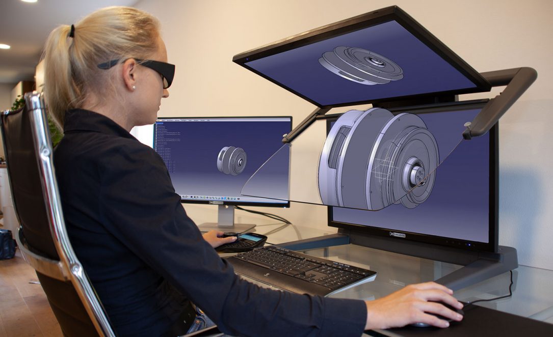
The 3D software application CATIA from the French company Dassault Systèmes has already successfully established itself in many industries worldwide: in aerospace, the automotive and supplier industry, the construction industry, industrial manufacturing, energy and product technology, mechanical and plant engineering, healthcare, and Formula 1. CATIA is not just a CAD application, but a comprehensive software package for product design and development. With CATIA, users can model any product and turn it into a three-dimensional, interactive application.
Review Esri User Conference 2023
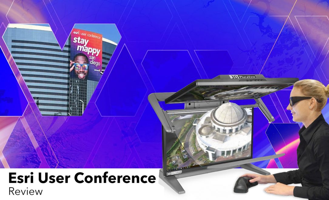
The Esri User Conference in San Diego is one of the most important events in the field of geographic information systems (GIS). The event is the ideal platform to illustrate the technical progress in the field of GIS. The five-day conference brought a broad audience of professionals from the geospatial community to San Diego.
Review Geospatial World Forum 2023: Future topics of the geoinformation industry in focus
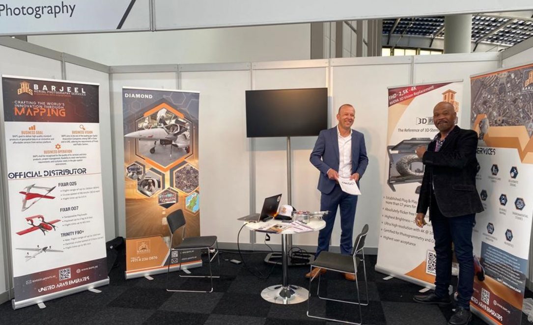
From 2 to 5 May 2023, the annual Geospatial World Forum took place in Rotterdam. The conference is considered one of the most important industry events for geospatial information professionals worldwide and this year again provided a platform for discussions and presentations on current topics from the world of geospatial data. Over 1500 delegates from more than 70 countries and 700 organizations attended the event.
SURVEYING GROUP Podcast with Josef Schneider at INTERGEO 2022
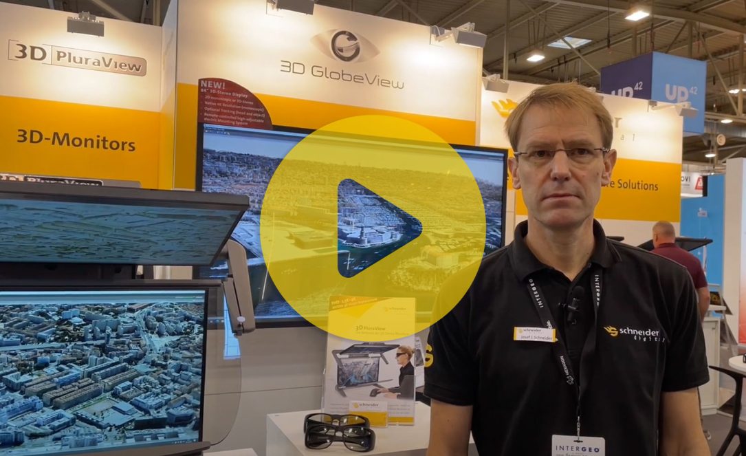
The podcast informs about current trends in 3D stereo visualization. In the interview, Josef Schneider informs about the latest developments in 3D monitors, from desktop stereo systems to 3D meeting room solutions with 84″ monitor diagonals.
3D PluraView live at Geo Week in Denver (CO), 13. – 15.02.2023
This year, geo-IT professionals will once again meet live at the important Geo Week in Denver (13. – 15.02.2023) Visit us at booth no. 320 of our partner Kelyn Technologies and experience the leading 3D stereo desktop display live in action with all geospatial software applications.